|
Updated: @
05-Nov-2026 11:01pm - next update at 12:00am
updated
|
| Summary / Temperature |
Wind |
Rain |
Cloud Height |

|
Clear
|
|
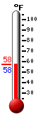
58.8°F
Temp Trend 
---
Feels like:
59°F
24-hr difference
1.9°F |
| |
Today |
Yesterday |
| High: |
78.6°F
2:21pm
|
77°F
1:02pm |
| Low: |
50.2°F
6:42am
|
52.1°F
6:54am |
|
 |
 |
| |
| Davis VP2 Status |
|
ICN:1 | ISS:Ok | CON:4.7 | RCP:99% |
| Indoor Temp and Humidity |
| Indoor Temp: |
78.9°F
|
| Indoor Humidity: |
41 %
|
|

|
ESE
2.1
Gust:
1 mph
|
|
0 Bft -
Light Air
|
| Max Gust: |
8.1 mph
7:08 PM
|
| 1Hr Average: |
Calm
|
Max Gust
This Month: |
19.0 mph
on
Nov 1 |
| Wind Run: |
18.02 miles |
| Wind Year: |
10956.26 miles |
|
| Rain Today: |
0 in
|
| Rain Rate (/hr): |
0 in
|
| Rain Yesterday: |
0 in
|
| Storm Rain: |
0 in |
| This Month: |
1.55 in
|
| Season Total: |
12.68 in
|
Last Rain
Time/Date: |
11/2/2026
at 4:14 AM |
|
55 rain days in 2026 |
|
2 rain days in November |
|
|
| Humidity & Barometer |
Almanac |
Sun/Moon |
| Humidity: |
75 %
|
High Humidity
Today: |
83%
at 7:02 AM |
Low Humidity
Today: |
32%
at 1:47 PM |
| Barometer: |
29.939 inHg
|
| Baro Trend: |
Steady
|
| Dew Point: |
50.9°F
|
| Wet Bulb: |
54.6 |
|
| Sunrise: |
6:44am |
| Sunset: |
5:31pm |
| Moonrise: |
3:14am |
| Moonset: |
3:17pm |
| Full Moon: |
Sun, 25-Oct-2026 9:12pm MST |
| New moon: |
Mon, 09-Nov-2026 12:03am MST |
|
Sunlight:
Today:10 h 45 m 32 s
(Noon)

(Midnight)
|
|
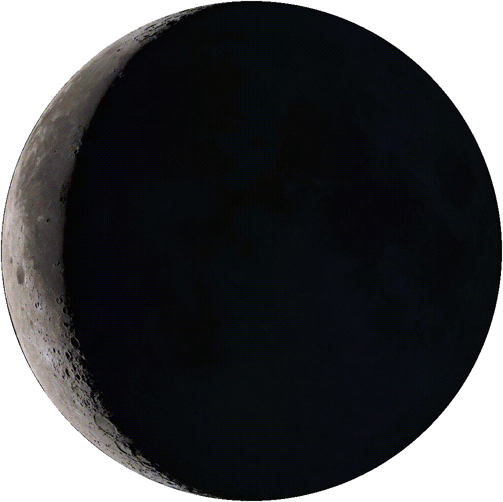
Waning Crescent |
|
11%
Illuminated |
|
| UV Summary/Forecast |
Solar Summary |
Air Quality |
|
High Today:
4.9 @ 11:57 AM
|
Nov-06

4.2
|
Nov-07
4.3
|
Nov-08
4.4
|
|
|
High Today:
754 @ 12:24 PM
|
Today: 08:28 Hrs
Month: 34:01 Hrs
|
|
N/A
 |
| Averages / Records |
| Average Temperatures This Date |
Record Temperatures This Date |
Average High
79°F |
Average Low
51°F |
Record High
93°F (1934 & 1999) |
Record Low
29°F (1922, 1933 & 1935) |